Occlusion-Aware Multimodal 3D Perception and Agentic Reasoning for Wildfire Fuel Structure
Occlusion-Aware Point Allocation for Understory Structure Estimation from UAV LiDAR
S. Nishankar · Supervisor: Prof. (Ms) Meedeniya D.A. · Department of Computer Science and Engineering
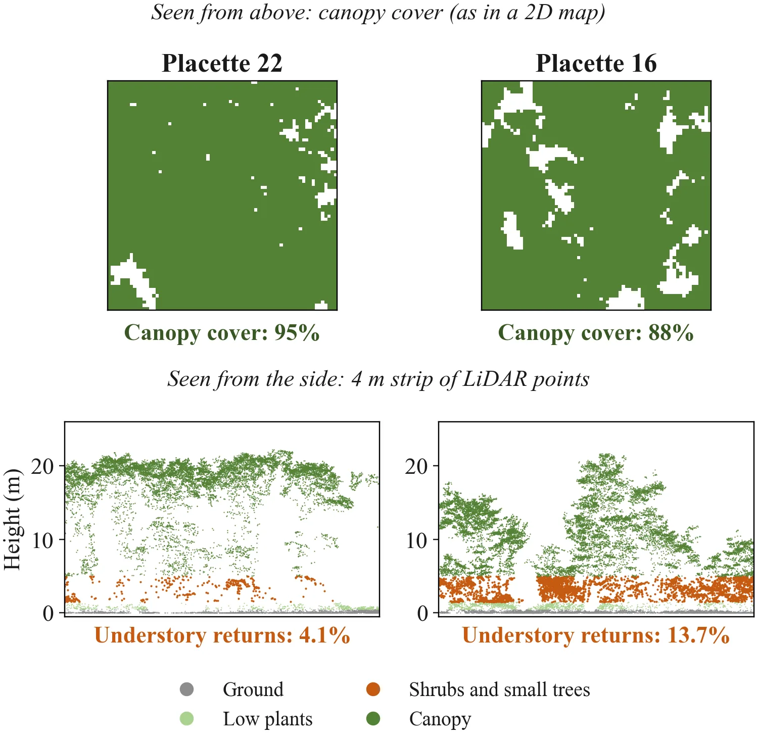
A forest fire climbs from the ground into the tree tops along the shrubs and small trees between them; when that layer is continuous, a surface fire becomes a destructive crown fire. It is also the hardest part of a forest to measure: a scanner flown above cannot see through the canopy, and its scans are too large to process whole, so software keeps only a sample. Every common rule for choosing that sample keeps what was measured best, so the hidden layer goes first. This research estimates what the sensor could and could not see, and spends the computing budget where information is missing.
Read the project overview: Estimating the hidden shrub layer of forests from airborne LiDAR, within a fixed computing budget.
Now
Current phase: 1. Foundations
Next dates
- 30 Nov 2026 · E1 go / no-go against height-stratified selection
- 15 Jan 2027 · P0 · Q1 review deadline
- 1 Mar 2027 (est.) · P1 · ICCV 2027 abstract
Papers
| Paper | Tasks done | Slack before buffer |
|---|---|---|
| First paper · height sampling | 50% | — |
| P0 · Q1 review | 0% | 69 days |
| P1 · ICCV 2027 | 0% | 87 days |
| P2 · NeurIPS 2027 | — | — |
| P3 · Q1 journal | — | — |
| Thesis | — | — |
Latest log entries
No public log entries yet.
Objectives
- To measure how much of each forest layer survives the data reduction used by current 3D pipelines, and to define a layer-wise way of reporting accuracy.
- To develop an occlusion-aware method that estimates the hidden layer more accurately under a fixed computing budget, compared with standard sampling at equal cost.
- To validate the estimated structure against ground-based laser scans, and to convert it into the fuel measures fire models use.
- To add a reasoning layer that finds poorly measured regions and requests a second look, and to measure its gain over a single pass.